The Road to Osh
The “Road to … ” films were seven comedies starring Bing Crosby, Bob Hope, and Dorothy Lamour, often simply as the “Road” pictures. The seven included: The Road to Singapore (in 1940); Zanzibar (1941); Morocco (1942); Utopia (1946); Rio (1947); Bali (1952) and Hong Kong (1962).
They were a combination of adventure, comedy, romance, and music where they played the role of con-artists in search of the “big-one”, but a flimsy plot always took a back seat to gags, many of which were supposedly ad-libbed by Crosby and Hope during filming. They also included a series of running in-jokes (including the “pat-a-cake” routine with which they would confound the villain of the piece) and a satirical element poking fun at many of the standard film genres of the day: swashbuckling adventure in various venues, and even a spy thriller.
I have to be honest, however, and say that I was never really that fond of them; they weren’t really my “cup of tea” and belonged to the culture and heritage of my parents’ generation. All the same, I was very much aware of them and they formed part of the general cultural background which, as a child growing up in the sixties, I just absorbed by a process of osmosis.
Although they are not really spin-offs, there have been numerous parodies and references to them in popular culture. In a way, this postcard is another tribute to a part of my youth: The Road to Osh, just as were the previous postcands: The road between Naryn and Djalal Abad; The Bishkek-Naryn Road and The road around Lake Issyk Kul.
The Bishkek-Osh Road is one of the major highways in the Republic: one of only two North-South routes that traverse the mountains connecting the different regions of the country. It was first constructed as late as 1965 – it was completed on 18th October; at that time it was 600 km long, but since the collapse of the Soviet Union, stretches of the road which passed through what is now Uzbekistan had to be bypassed and so it is now a hundred kilometres longer.
It has undergone reconstruction since independence and it is now much safer and quicker than it used to be, but still traverses over several high mountain passes, (Tuu Ashu and Ala Bel), from the Chui valley over the Suusamyr plain, through the Chichkan valley, past the Toktogul Reservoir and through the spectacular gorge of the Naryn River to the Ferghana valley, past the regional centre of Djalal Abad and the ancient city of Uzgen before arriving at the seat of Suleiman Too in Kyrgyzstan’s southern capital.
There is a saying in construction that “the day you finish building is the day you start repairing” and that is true of road construction as well as when erecting buildings. The maintenance of the highway is important to keep it in good condition and in some places it is already showing signs of age. Part of the problem is the amount of traffic and another is the extreme weather conditions experienced in some of the high mountain regions.
The road’s importance to the republic cannot really be overstated. Not only does it link Kyrgyzstan’s two biggest cities, it carries a huge amount of traffic including heavily laden trucks carrying goods on their long way North and South to their final destinations – not just within the country but as far as Kazakhstan and Russia or Tajikistan and Afghanistan.
There are times, especially in the winter when it is closed due to avalanches and it has been suggested that the country look for donors to help fund investment in another North South route to supplement this heavily used highway.
There are several offshoots from the main road:
- Past Suusamy to the Kekemeren valley and on to Chaek and Kochkor, with a turn off to the remote village of Min Kush and another taking one of the roads up to Lake Son Kul, (past the Karakereche open cast coal mine);
- Over the Otmok pass into the Talas vaklley, (traditionally, the homeland of the legendary hero Manas);
- From Tash Kumyr to Lake Sary Chelek;
- From Bazaar Korgon, up into the Royal Walnut Forests of Arslan Bob;
- Over a difficult road, (open only in the summer months), to Kazarman, (from where it is possible to travel to Saimaluu Tash abd the southern shores of Lake Issyk Kul), and onto Naryn;
At first the road goes west, from Bishkek to Karabalta, through Dungan villages. Dungans crossed the border from China over hundred years ago because of persecution in China, and now they grow all sorts of vegetables that pack Bishkek’s markets. Before Karabalta the road turns south into the Kyrgyz Alatau range and goes up through the narrow gorge into the Tuu Ashu pass where a tunnel, (3686m), has been driven through to the other side. (The old, disused, road can still be seen – climbing still further above the tunnel to cross over the actual pass.)
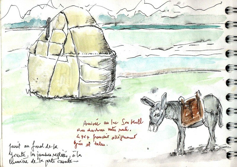
After the pass, the road descends into the Suusamyr valley. Here is an abundance of green pasture land on a high steppe plateau – 2200m a.s.l. Since 1991, the flocks of sheep grazing here have dwindled substantially and the people have diversified into other forms of agriculture – growing potatoes, garlic, cabbages and fodder crops.
One traveller at the beginning of 20th century wrote of Suusamyr: “It is night. Pressing closely around a yurt, sheep are deep in slumber, breathing evenly… The moon glides across the sky stumbling over clouds, and the peaks of the mountains, resembling enormous blocks of blue marble, are illuminated by mysterious inner light. Slowly the darkness is pushed back as, morning light rises from behind the rim of the mountains… morning in the meadows, in Suusamyr.”
The village of Suusamyr, itself, luies at the Eastern end of the plain – and the road through the the village leads down the Kekemeren valley and back to Kochkor, or off to Lake Son Kul.
After Suusamyr the road turns west again. After a while there is a turn off to the Otmok Pass, the Talas Valley and the road to Taraz (Djambul) in Kazakhstan.
The road goes over Ala Bel pass (3184 m) which is lower, wider and longer than the Tuu Ashu pass, but can present difficultuies in the winter. Then it passes through the narrow gorge of the heavily forested Chichkan State Zoological Reserve.
The road swoops down to one of the most beautiful reservoirs in Central Asia, the Toktogul Reservior. The town of Toktogul is located on the Northern shore of the reservoir. It is named after the famous akyn who was born here – and whose portrait appears on the 100 som banknote.
The reservoir funnels the gorgeous Naryn River into a hydroelectric station to the South – also called Toktolgul, and also featured on the 100 som banknote.
Then the road passes through a narrow valley with sheer walls and pillars of red sandstone. The river passes through a series of further dams, reservoirs and power stations – but not as dramatic as the one at Toktogul.
Turning right in Tash-Kumir and driving for about 150km it is possible to reach the Sary Chelek biosphere reserve that was founded in 1959, to protect and research the pristine natural landscapes, with its lowland steppes, mountain ridges with snow-capped peaks; rapid rivers and mountain lakes; blossoming valleys and alpine meadows (lying between 1200m and 4274m) – with a variety of flora and fauna. More than 1000 species of plants, 160 species of birds and 34 species of mammals (such as deer, bear, lynx, wolves, foxes, badgers, porcupine … even snow leopards) can be found in this relatively small, unspoiled national park.
Entering the Ferghana valley there are vistas of seemingly endless flat fields (mainly cotton), which can be seen through the trees which line the roadside. The road turns east and skirts through detours constructed in the past few years to bypass stretches of Uzbek territory which bulge into Kyrgyz Territory.
At Bazar Korgon, there is a turn off to Arslan Bob – famous for the relicts of walnut forests.
The next major town is Djalalabad – a resort town and market garden centre.
The road used to travel southwards to Osh – but as this means crossing Uzbek territory, the modern route proceeds eastwards to Uzgen, with its famous Mausoleums and Minaret (XI century), before swinging westwards once more to approach Osh.
There are currently no scheduled bus services along the entire route – although plans have been discussed for services to be established in the summer months. (In winter months the road can suffer from avalanches, and in spring from landslides.) Minibuses with 4-wheel drive can obtain special permission to travel on the route. Most local people use shared taxis …
Timing: Times can vary considerably according to road and weather conditions, stops taken for meals or photo opportunities (and there are plenty of those), so these figures can only be taken as a guide. I have tended to be conservative – in other words, it can be quicker … but, I would suggest, not by much.
- Bishkek-Suusamyr: 4.5 hours,
- Bishkek-Toktogul: 8 hours;
- Bishkek-Karakul – 10 hours;
- Bishkek-Djalalabad – 10 hours;
- Bishkek-Osh requires about 12-14 hours … so it can be done in one day, although it is probably better to break the journey en route.
Here, also, is a breakdown of the distances between different points on the road.
| Bishkek-Osh | Possible Detours |
+ |
||
| Bishkek | ||||
| Karabalta |
62 |
|||
| Tuu Ashu Pass |
130 |
|||
| Suusamyr Turn |
135 |
Suusamyr village |
15 |
|
| Talas turn |
200 |
|||
| Ala Bel Pass |
220 |
|||
| Chichkan |
260 |
|||
| Toktogul |
290 |
|||
| Karakul |
400 |
|||
| Tash Kumyr |
465 |
|||
| Bazaar Korgon |
565 |
Arslan Bob (2 way – There and back) |
110 |
|
| Djalal Abad |
590 |
|||
| Uzgen |
640 |
|||
| Osh |
700 |




 Bishkek